Concerns afterthe A259 is hitby floods in Rye


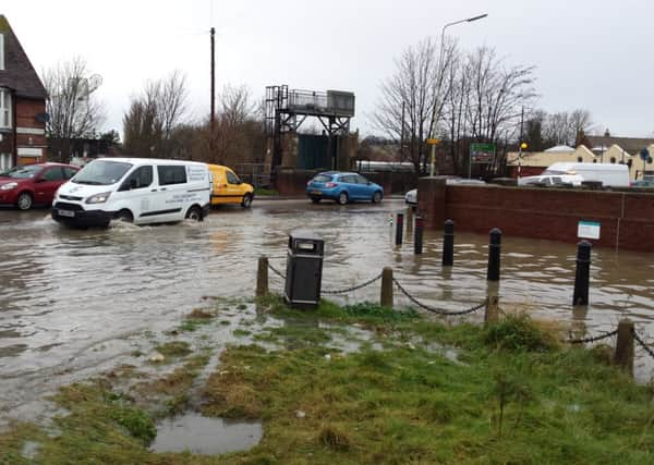
Water poured across the road just west of the Kettle O’ Fish roundabout last Thursday morning when a reported 15 mm of rain fell.
There were reports that the flood water contained sewage.
REACT chairman Colonel Anthony Kimber said: “The extreme rainfall on January 8 was the first big test of 2015 of the drainage system around Rye.
Advertisement
Hide AdAdvertisement
Hide Ad“The lower part of the town at river level, relies on main river defences maintained by the Environment Agency. These defences kept Rye dry during the rain and tidal surge in December 2013.
“Behind them, there is a complex system of drains and sewers to carry away surface water and sewerage.
“If significant water flows get in to the combined sewerage/drainage system or if high river levels prevents egress of surface water drains, then there is a risk of what Southern Water calls “hydraulic overload” in the sewerage system.
“In short, the system cannot cope and there is spillage at weak spots. This spillage usually contains raw sewerage, which should be avoided by humans.
Advertisement
Hide AdAdvertisement
Hide Ad“Members of REACT know where the weak spots are at the north end of the Strand; the Grove; parts of the Tilling Green Estate; the sewers around Ashenden Avenue and parts of the North Salts.
“On 8 January, most of these places saw some “ponding” of surface water but at the Strand and in the Grove there were clear signs that there was sewage spillage from the sewerage system.
“Pictures show some of the water levels in the late morning.
“As these high risk places should be well known to Southern Water, the Highways Agency and the Local Authorities.
“REACT will now be seeking the technical support to address the root causes and come up with some long term solutions.”